


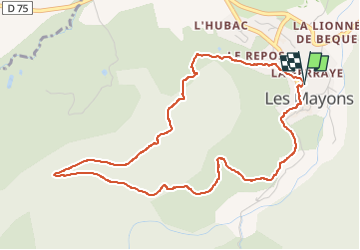

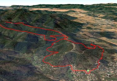
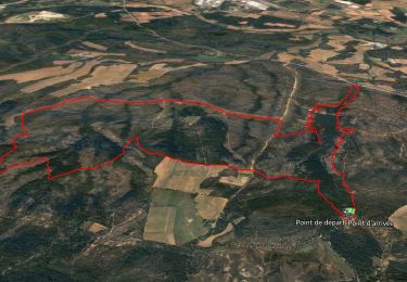
13.5 km | 21 km-effort

User


FREE GPS app for hiking
 SityTrail
IGN / Geographical institutes
SityTrail World
The world is yours!
Trail Walking of 5.4 km to be discovered at Provence-Alpes-Côte d'Azur, Var, Les Mayons. This trail is proposed by Chantheys.
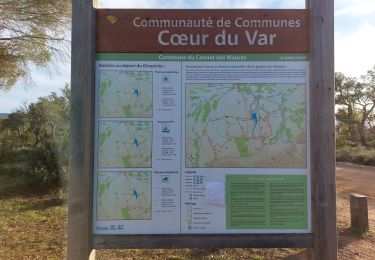
Randonnée proposée par le TopoGuides "Coeur du Var....à pied, PR n°17.
"La piste de Pin-Pignon est une des plus belles pistes des Maures. Châtaigneraies, pinèdes de pins maritimes, suberaies, cabanon secret vous accompagnent jusqu'à un point de vue sur le cirque des montagnes" (Coeur du Var à pied)
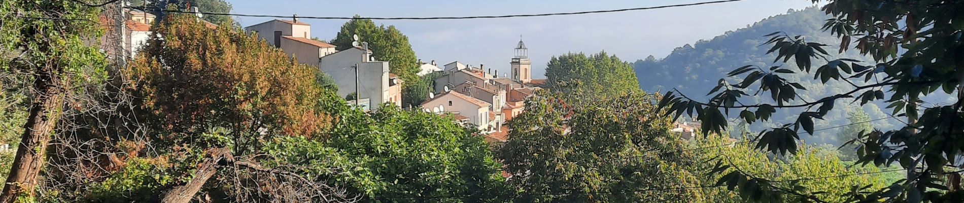
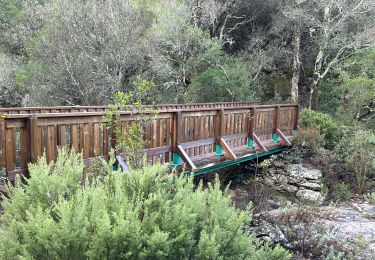
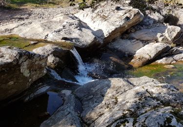
Le parcours est majoritairement ombragé à l'exception d'un petit tronçon après le virage en épingle à cheveux.
Les bâtons sont les bienvenus dans la descente, mais pas indispensables.


Walking

Walking
Walking
Walking
Walking
Walking
Walking
Walking
Walking